Fuel model mapping in the Canary Islands based on airborne LiDAR data
END DATE: 2016
CLIENT: GRAFCAN, Cartográfica de Canarias, S.A.
LINKS:
Scientific article in the journal Remote Sensing of Environment
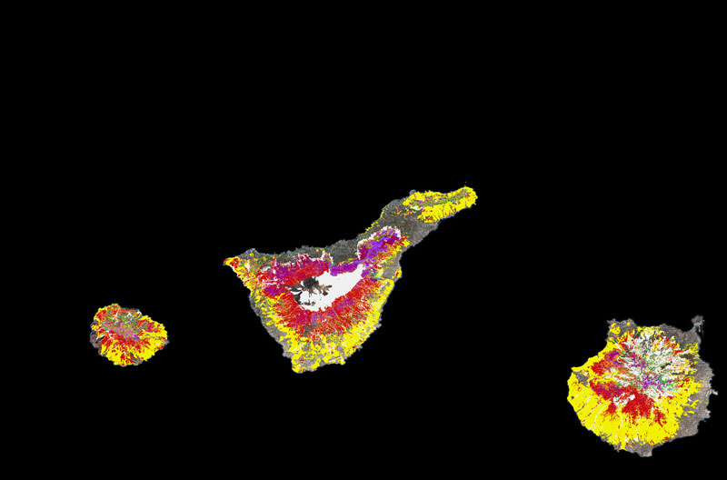
Using the tri-dimensional information derived from LiDAR, fuel structure and continuity is analysed, and then combined with information regarding the composition of the stand in order to define classification algorithms depending on the type of vegetation present.
The maps were obtained according to two different fuel classification systems: models specific to the Canary Islands and standard models from ICONA (the former Spanish Nature Conservation Institute) which are based on the American NFFL system.
The methods used can be easily extrapolated to other forests in other regions, and enable the maps to be quickly updated when future LiDAR flights become available. They provide reliable and useful information for the prevention and control of forest fires covering large areas