Course on QGIS and LiDAR in the evaluation of forest ecosystems
END DATE: 2017
CLIENT: Students and professionals from SMEs, companies and public bodies
LINKS:
Website of the training platform Dwo
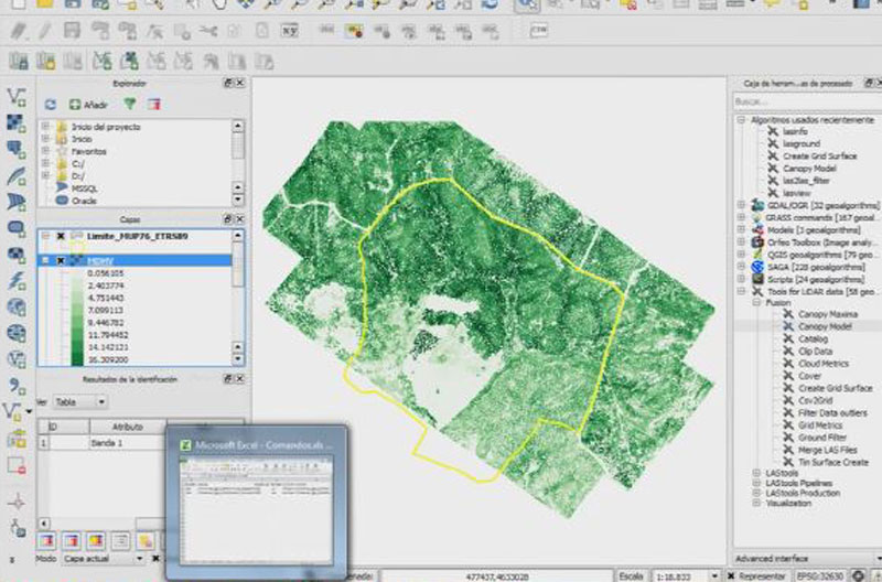
In this course, the student learns to process LiDAR point clouds by running algorithms from the QGiS toolbar. In the final blocks of the course, parametric and non-parametric regression methods are used to estimate forest variables. The student also learns how to write R scripts to estimate forest variables from continuous LiDAR information.
The course is composed of an online element using an individual moodle platform, and a face-to-face element, which in different editions has been held in Madrid, Barcelona, Cuenca, Valencia, Oviedo, Soria and Logroño. It includes webinars for workshop activities and to resolve queries.

