AGRESTA has begun a new Project for the FCPF (Forest Carbon Partenrship Facility) of the World Bank, this time in Madagascar.
Following on from our first job with the FCPF in Costa Rica we have decide to continue in this line of work, which combines our experience in remote sensing (within our Forest Resource Evaluation Work Area) and in carbon and forests projects (within the Climate Change Work Area).
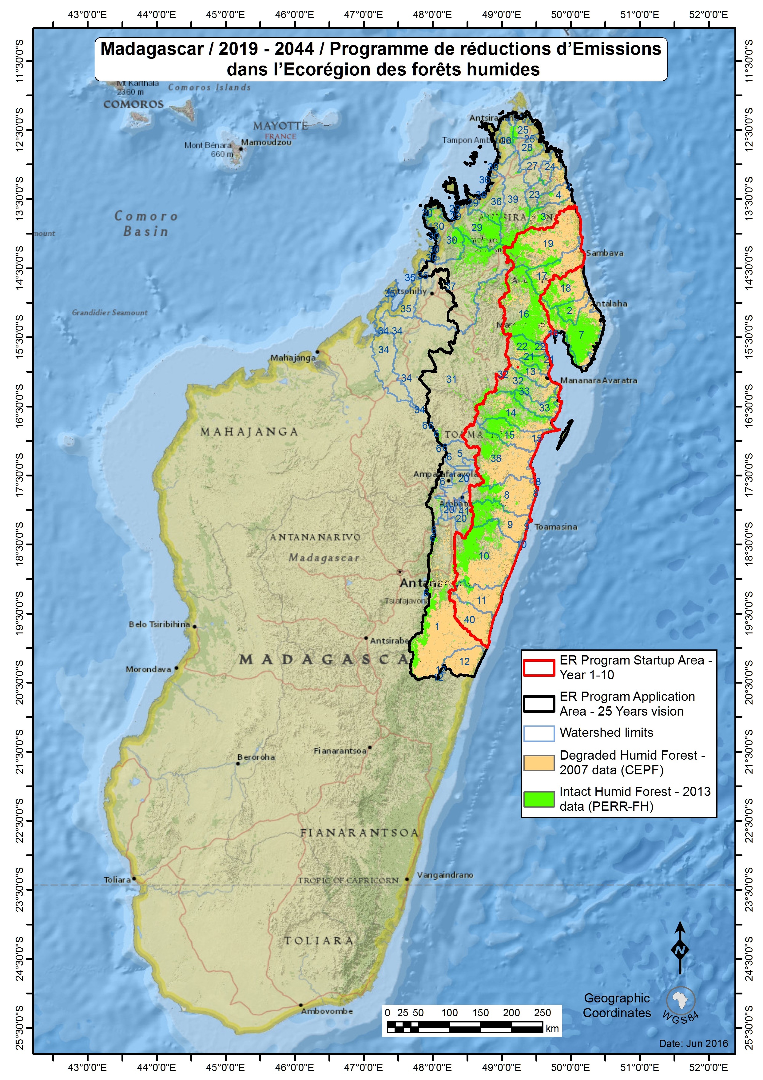
This is a job that we won through a tendering process where we were competing against some of the biggest organizations working in the sector. In developing the proposal, a consortium was created comprising a local organization (Project Manondroala) and a French company specialised in cartography and remote sensing (Pôle Carto). Our role here at Agresta will be the analysis of the changes in use of land based on remote sensing data with the aim of determining climate change implications and obtaining reference levels for these changes (deforestation, degradation, etc.). This project is within the framework of a national level REDD+ project located in the northeast of the country.