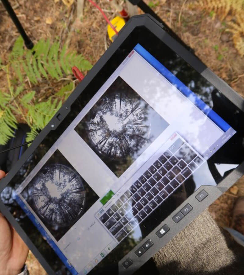
Télédétection axée sur les ressources forestières
L’évaluation et la caractérisation des ressources forestières à l’aide des technologies de télédétection les plus innovantes constituent l’élément clé de ce domaine de recherche.
Nous développons des méthodologies et des applications permettant de valoriser rapidement toute la quantité d’informations disponibles obtenues par télédétection et qui augmente de manière exponentielle. L’intégration de plateformes et l’utilisation des dernières techniques d’apprentissage automatique nous permettent de créer des produits cartographiques haute résolution adaptés à chaque client, notamment :
- Inventaires des ressources forestières
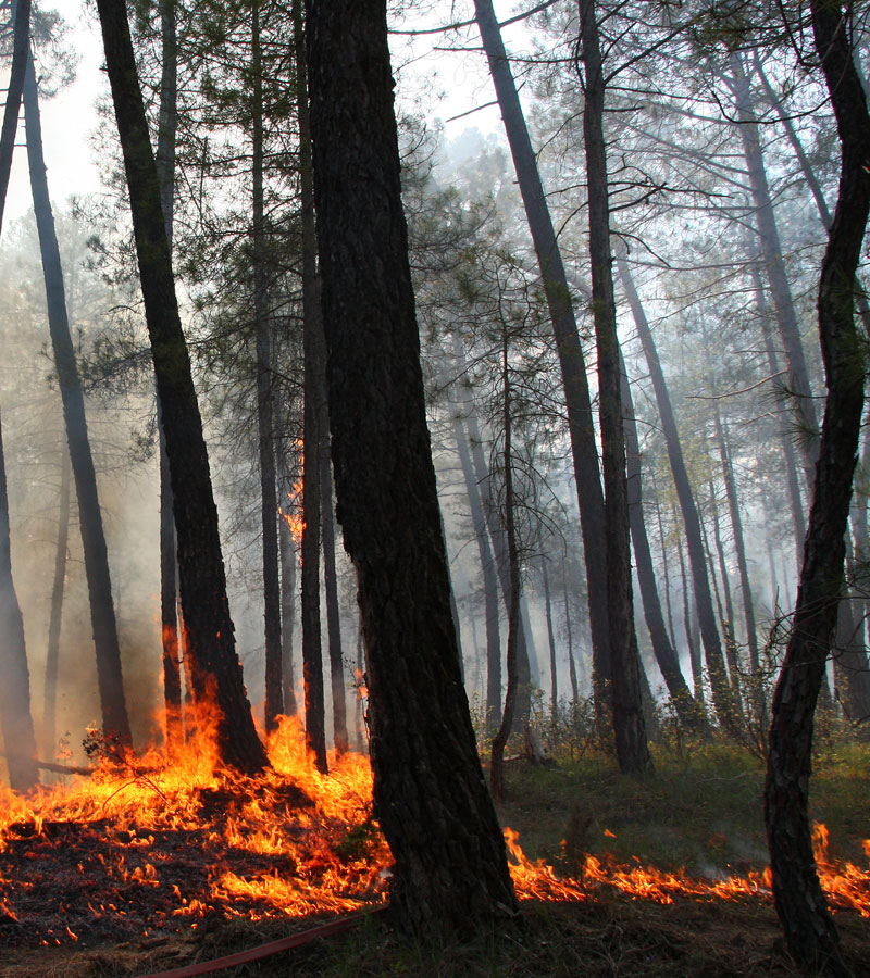
- État sanitaire des peuplements forestiers et des cultures agricoles
- Qualité et connectivité des habitats
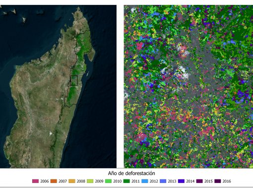
- Détection des processus de dégradation dans le cadre de la REDD+